Weather Radar Pro
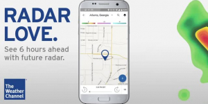
Click on hail, mesocyclone, or tvs icons to view the storm attribute table for that particular storm cell. Storm attribute table includes information about hail size, probability of hail, cloud top height, vertically integrated liquid, and more. Overlay animated radar over GOES satellite imagery, view global temperature data, or view global sea-level pressure with isobars. Radar imagery covers the United States, Europe, Guam, and the Eastern Caribbean. Hurricane data is global and includes all the oceans of the world. Choose the number of frames in your radar animation, the animation speed, and the interval between frames.
- 1 Videos
- 0 Followers
- 0 Like
Videos Uploaded

