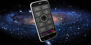
i-Boating: GPS Nautical / Marine Charts - offline sea, lake river navigation maps for fishing, sailing, boating, yachting, diving & cruising
Download Beautiful & detailed Hardware/GPU accelerated vector charts (text stays upright on rotation) Query details of Maritime object (Buoy, Lights, Obstruction etc). Custom depth(Ft/Fathom/Meter) & distance units (km/mi/NM) Custom depth shading (safety depth). Record tracks, Autofollow with real-time track overlay Voice Prompts for marine navigation (requires GPS ) 1ft / 3ft depth contour maps for anglers for selected lake maps. Useful for fishing/trolling(freshwater/saltwater).
- 1 Videos
- 0 Followers
- 0 Like
Videos Uploaded

